




Community
Welcome to the GeoNetwork community:
Public communication: To ask a question, explore a new idea, or troubleshoot a problem please make use of our public communication channels:
Issue tracker: When troubleshooting has found an issue to resolve, or discussion highlighted a new feature to explore, it is recorded in the issue tracker.
Development: New features and fixes are provided to the codebase as pull requests.
See project contributing policy for information on how to participate.
Keep in mind:
These communication channels are public and intended to be both positive and welcoming. See the Contributor Covenant Code of Conduct for details.
We understand that not everyone is in a position to communicate publicly. For private support please contact a GeoNetwork service provider.
Security issues should not be discussed in public. Please see security policy for information on how security is handled along with a list of published advisories.
Larger changes are written up as a roadmap proposal with opportunities seeking funding, and proposals ready to be reviewed and scheduled by the leadership team.
User forum
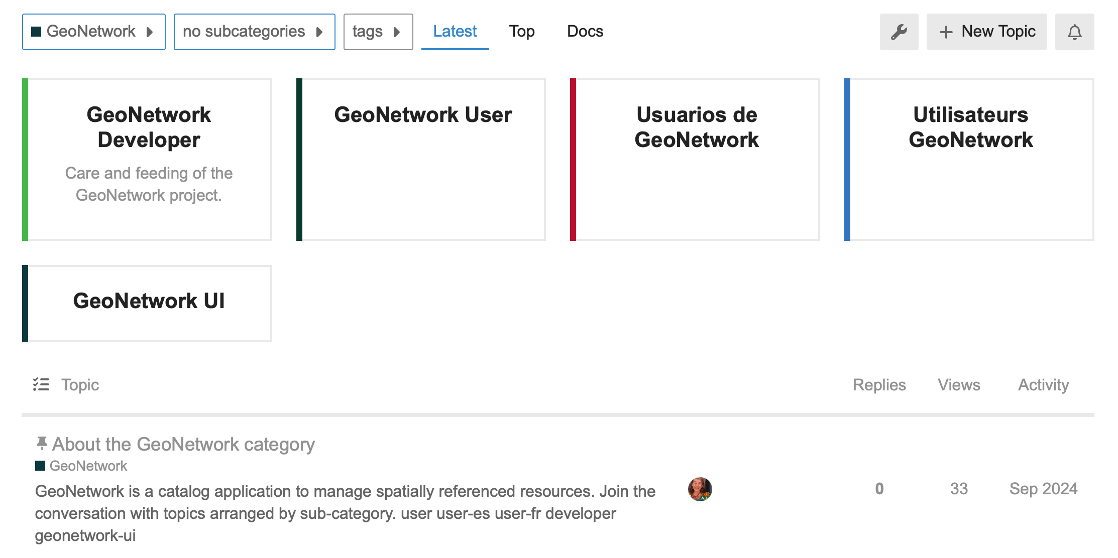
Join discussion on OSGeo Discourse.
The forum has GeoNetwork User categories for English, Spanish, and French discussion.
There is a category for the geonetwork-ui project.
For programmers there is a category for GeoNetwork Developer discussion.
Each category has an introduction describing how to sign in, post a topic, or configure for use as a mailing list.
Matrix
GeoNetwork has a Matrix room #geonetwork:matrix.org that you can join with an Element client or any other Matrix client.
Chat can be very useful for one-on-one collaboration, however, due to time zone differences it is not always efficient for asking questions.
This channel replaces the previous IRC. For a history of previous activity on the IRC channel, search the archives.
StackExchange
Use GIS StackExchange to ask for GeoNetwork support with the geonetwork tag.
List of recent questions: https://gis.stackexchange.com/questions/tagged/geonetwork
List of unanswered questions: https://gis.stackexchange.com/questions/tagged/geonetwork?sort=unanswered
Questions that help discover bugs should lead to the creation of bug reports in the GitHub issue tracker.
GitHub
The GeoNetwork GitHub issue tracker provides templates for both bug reports and feature requests. The provided templates need to be followed in order to facilitate reproduction (for bugs) or assessment (for features).
When creating an issue you are expected to be actively engaged: ensuring it is complete, answering questions, providing additional information, and suggesting fixes.
If an issue is really important to you, please help us look for funding to work on it.
Issues with no activity in the last 6 months will be automatically closed.