


GeoNetwork is a catalog application to manage spatially referenced resources. It provides powerful metadata editing and search functions as well as an interactive web map viewer. It is currently used in numerous Spatial Data Infrastructure initiatives across the world.
Features
Find & get information
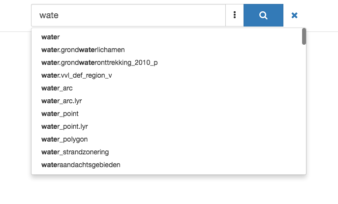
GeoNetwork provides an easy to use web interface to search geospatial data across multiple catalogs. The search provides full-text search as well as faceted search on keywords, resource types, organizations, scale, … Users can easily refine the search and quickly get to the records of interest.
GeoSpatial layers, but also services, maps or even non geographic datasets can be described in the catalog. Easily navigate accross records and find sources or services publishing a dataset.
Make your maps
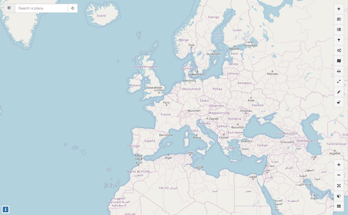
The interactive map viewer based on OpenLayers provides access to OGC services (WMS, WMTS) and standards (KML, OWS). Connected to the catalog, users can easily find new services, layers and even dynamic maps to combine them together. User maps can be annotated and printed and shared with others.
Publish & describe resources
Describe information using the online metadata editing tools. The metadata editor support ISO19115/119/110 standards used for spatial resources and also Dublin Core format usually used for opendata portals.
Based on user profiles (eg. reviewer, editor), a dashboard provides easy access to their informations and tasks. Online editing of metadata is based on a powerful template system and directories of information (eg. contacts, thesaurus).
The editor provides uploading of data, graphics, documents, pdf files and any other content type. It supports among others:
multilingual metadata editing,
validation system,
suggestion to improve metadata quality
geopublication of layers to publish geodata layers in OGC services (eg. GeoServer)
Easy configuration
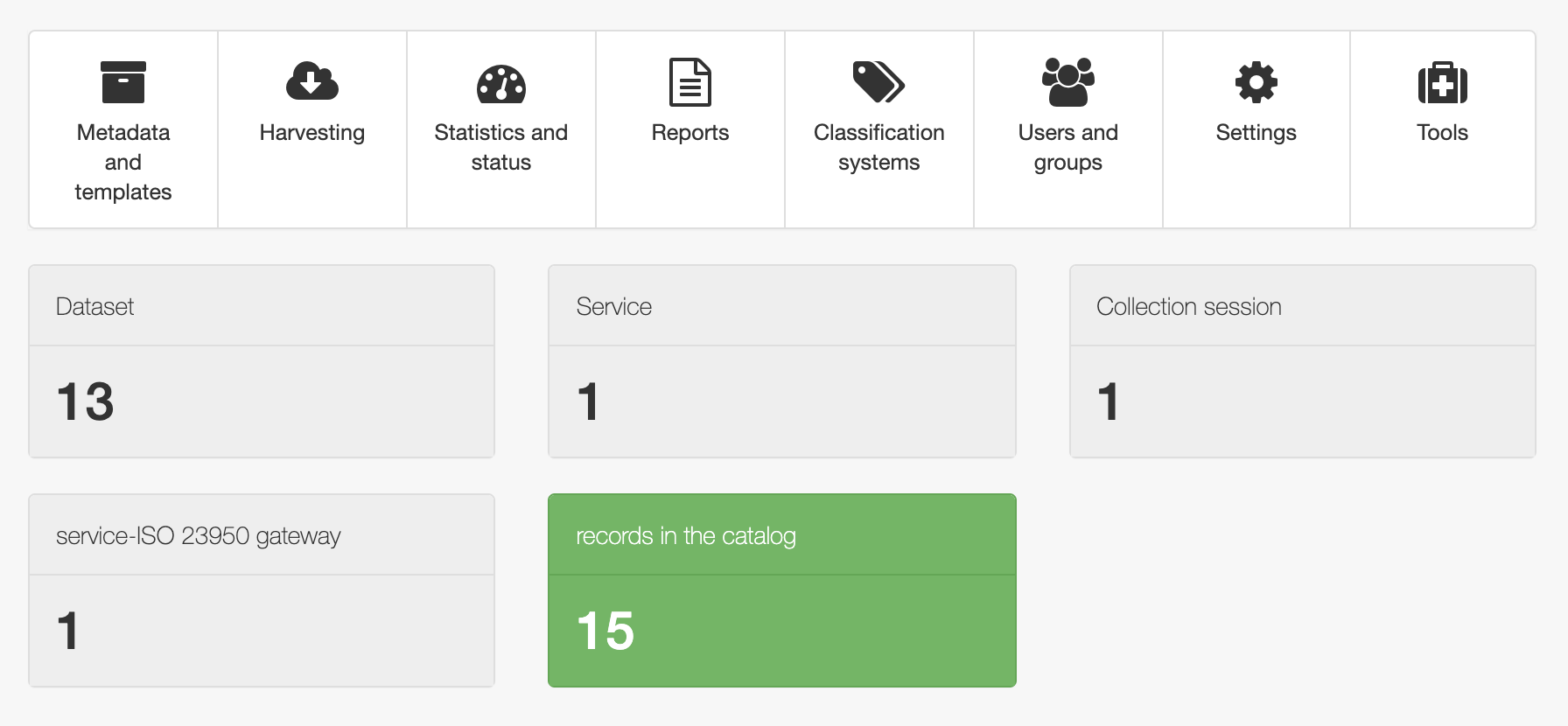
The administration console provides quick access to the system configuration. Easily manage user and group accounts, classification systems from the web interface and schedule metadata harvesting from many sources including:
OGC-CSW 2.0.2 ISO Profile,
OAI-PMH,
Z39.50 protocols,
Thredds,
Webdav,
Web Accessible Folders,
ESRI GeoPortal
Other GeoNetwork node.
Analyze information
Monitoring and reporting tools provide summarized information about the content of the catalog and statistics on the search. System maintainer can easily access the system status.
More
API
GeoNetwork implements the following protocols:
OGC CSW
OAI-PMH
OpenSearch
Z39.50
and also provides its own API to interact with other systems and a DCAT/RDF search service.
Customise & extend
With version 3, you can easily customise the appearance of your GeoNetwork using Bootstrap themes.
GeoNetwork provides a plugin mechanism for creating your own metadata schema ( eg. ISO19115-3 plugin).
OpenSource & standards
GeoNetwork has been developed to connect spatial information communities and their data using a modern architecture, which is at the same time powerful and low cost, based on the principles of Free and Open Source Software (FOSS) and International and Open Standards for services and protocols (a.o. from ISO/TC211 and OGC).
Support
Community and OSGeo
The GeoNetwork community has been expanding quickly over the last years. The current release has been possible because of all those that contributed to the project through code contributions, testing, bug reports and fixes as well as many suggestions.
GeoNetwork is part of the Open Source Geospatial Foundation (OSGeo, http://www.osgeo.org) software stack, providing software you can trust to be free, open and sustainable. Voluntary support is provided through mailing lists, websites and online forums.
More: Community
Professional Support
Several companies also provide commercial support to help organizations to implement, integrate and maintain the software. You can find them in the Service Provider directory on the OSGeo website.